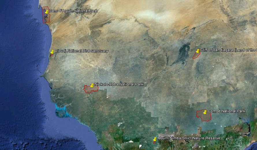
GIS boundaries of natural and mixed World Heritage sites available
IUCN and UNEP-WCMC have compiled a KML layer with key information on the natural and mixed World Heritage sites inscribed on the UNESCO World Heritage List as of 1 January 2012. The information comes from the latest version of the World Database on Protected Areas (WDPA). The WDPA is a joint project of the United Nations Environment Programme (UNEP) and IUCN, maintained at the UNEP World Conservation Monitoring Centre working with the IUCN World Commission on Protected Areas, governments and collaborating non-governmental organisations.
The information originates from a wide range of sources including UNESCO, IUCN and UNEP-WCMC records, data reported to the WDPA, and the original World Heritage nominations prepared by State Parties to the World Heritage Convention. The recorded areas given in the KML layer were compiled from UNESCO, IUCN and UNEP-WCMC records, while the boundary areas were calculated from the GIS boundaries recorded in the WDPA. It is planned to verify both the recorded areas and GIS boundaries with the UNESCO World Heritage Centre, and the KML layer shows which sites have been verified.
