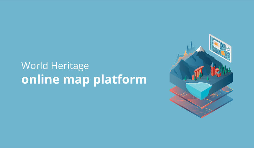
Online map platform for World Heritage announced
Funded by the Flanders-UNESCO Trustfund (FUT), UNESCO starts the development of an online geographic information system for World Heritage
Over a thousand properties are currently inscribed on the UNESCO World Heritage List, almost half of which are located in Europe and North America. To preserve the Outstanding Universal Value (OUV) of World Heritage sites, potential impacts need to be swiftly identified and located.
The attributes that convey the Outstanding Universal Value of a World Heritage property are incorporated within the property’s boundaries, with buffer zones providing an extra layer of protection where needed. The delineation of these boundaries is an essential requirement for the effective protection of World Heritage properties. Clear and reliable maps of World Heritage sites are thus crucial to ensure the effective preservation of our world’s shared heritage.
Currently, the UNESCO World Heritage Centre has maps of varying quality. Some maps do not include a scale bar, legend, or orientation, are not linked to a geographical coordinate system, or are not translated in one of the working languages of the World Heritage Convention. Providing georeferenced maps at the time of inscription is encouraged but not required. The inconsistency of the available World Heritage maps hampers the effective monitoring of the state of conservation of World Heritage properties.
In this context, the UNESCO World Heritage Centre will develop an online Geographic Information System (GIS) for World Heritage. The project will focus on Europe and North America as a pilot region and the online platform will include georeferenced World Heritage boundaries and buffer zones. The platform will enhance understanding of World Heritage boundaries and buffer zones and help identify potential impacts on the Outstanding Universal Value of natural and cultural heritage in the region, assisting States Parties to improve monitoring and better protect heritage on their territory.
Funded by the Flanders UNESCO Trustfund (FUT), the project is currently in its first stage of development. The project runs from 1 October 2021 to 30 September 2022.
For more info: https://whc.unesco.org/en/wh-gis/