New cooperation agreement signed between Belgian Science Policy Office and World Heritage Centre
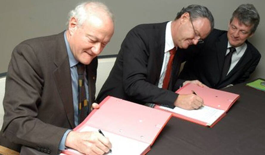
This agreement follows a previous agreement signed in 2002. Under the previous agreement, a pilot project was implemented focusing on the use of space technologies to develop an operational cartography and monitoring system for the five natural World Heritage sites of the Democratic Republic of Congo, all of which are currently inscribed on the List of World Heritage in Danger. Under the new agreement, new pilot projects are planned focusing on developing a 3D temporal geographical information system for Calakmul in Mexico and working on the cartography of the main Andean route, Qhapaq Nan. The World Heritage Centre is cooperating closely with the Open Space Initiative of the Division on Ecological and Earth Sciences (SC/EES).
For more information:
SYGIAP project http://www.geoweb.ugent.be/sygiap/index.asp
http://www.enge.ucl.ac.be/cartes-RDC/CEDESURK.htm
Belgian Science Policy Office http://www.belspo.be/belspo/home/pers/perscom20_en.stm
UNESCO EES: remote sensing http://remotesensing.lomitko.net/
 Democratic Republic of the Congo